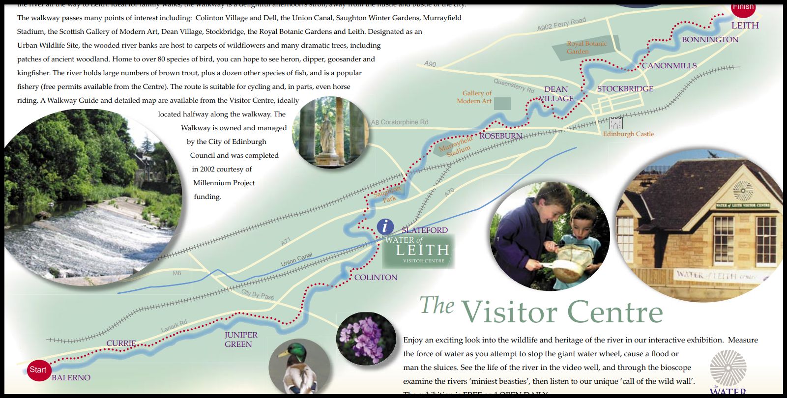
STAGE
1
The
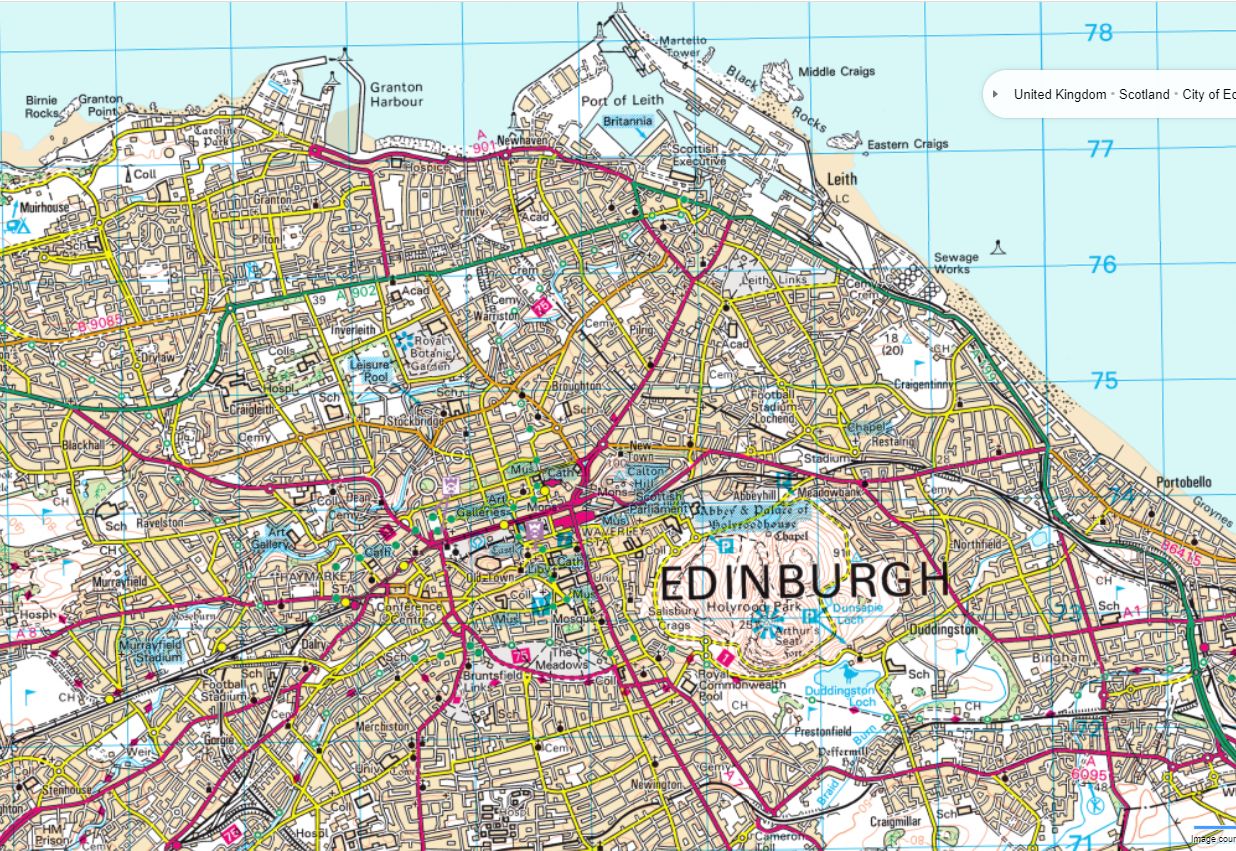
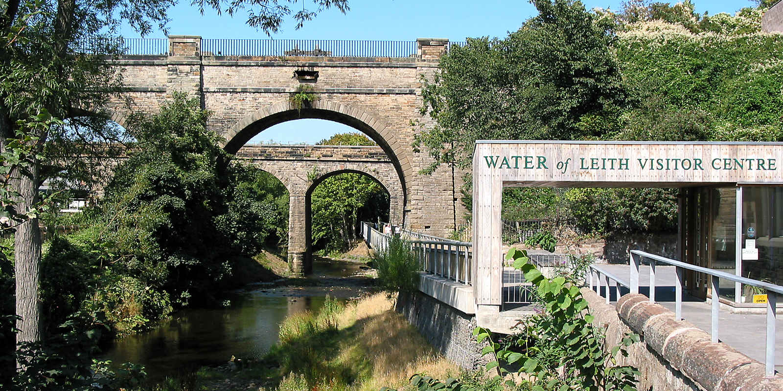
Water of Leith visitor centre at Slateford is most easily reached by
bus,
though
there is also a train station nearby. The centre is well worth a visit
for its
interesting
displays; they also sell a good cheap detailed map of the whole
route.
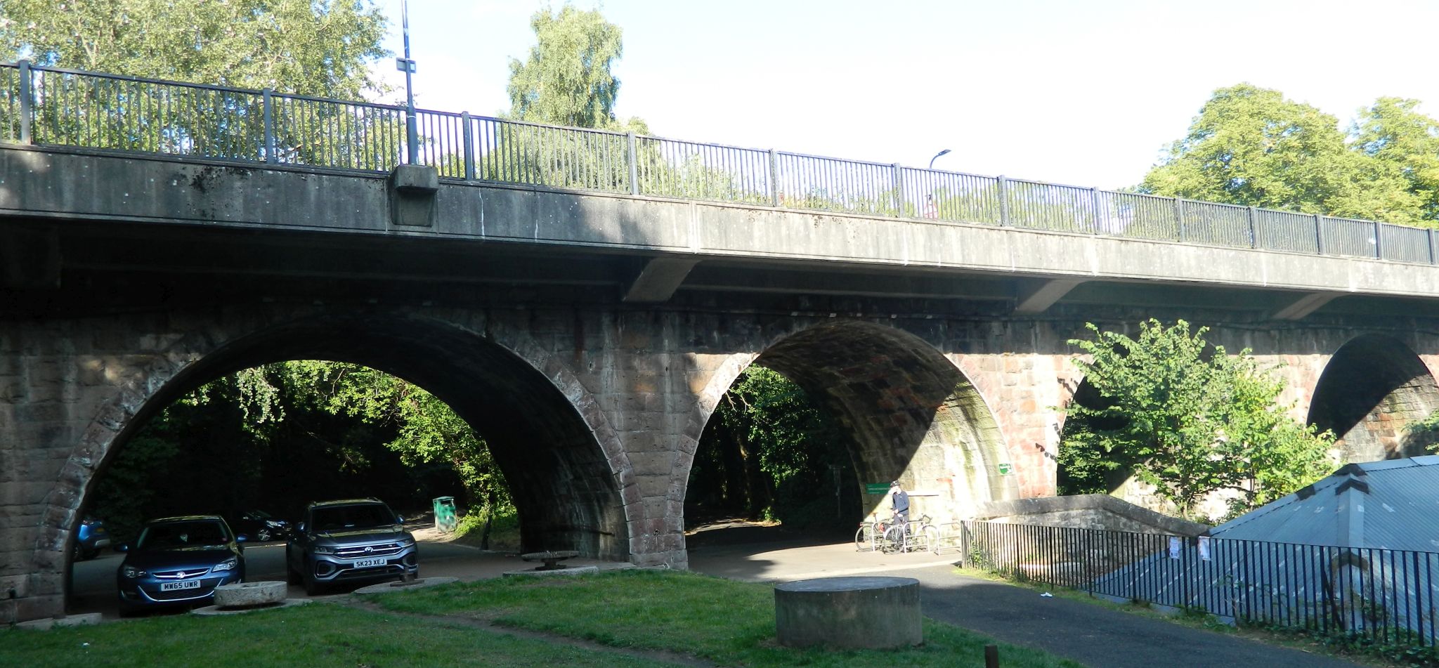
This section
begins alongside the river beside the centre, passing under
two
impressive arched structures - the aquaduct carrying the Union Canal and
the
viaduct carrying the railway. Continue along the riverside walkway,
running
past
a graveyard on the right and then an area of allotments around which
both
the river and path make a wide loop.
STAGE
2
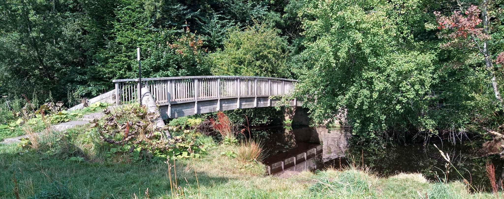
Beyond
these cross a wooden footbridge and then emerge on the busy A71.
Use
the pelican crossing and continue on the riverside path on the farside,
soon
passing under a rusting iron bridge and past an offlce block. After
emerging
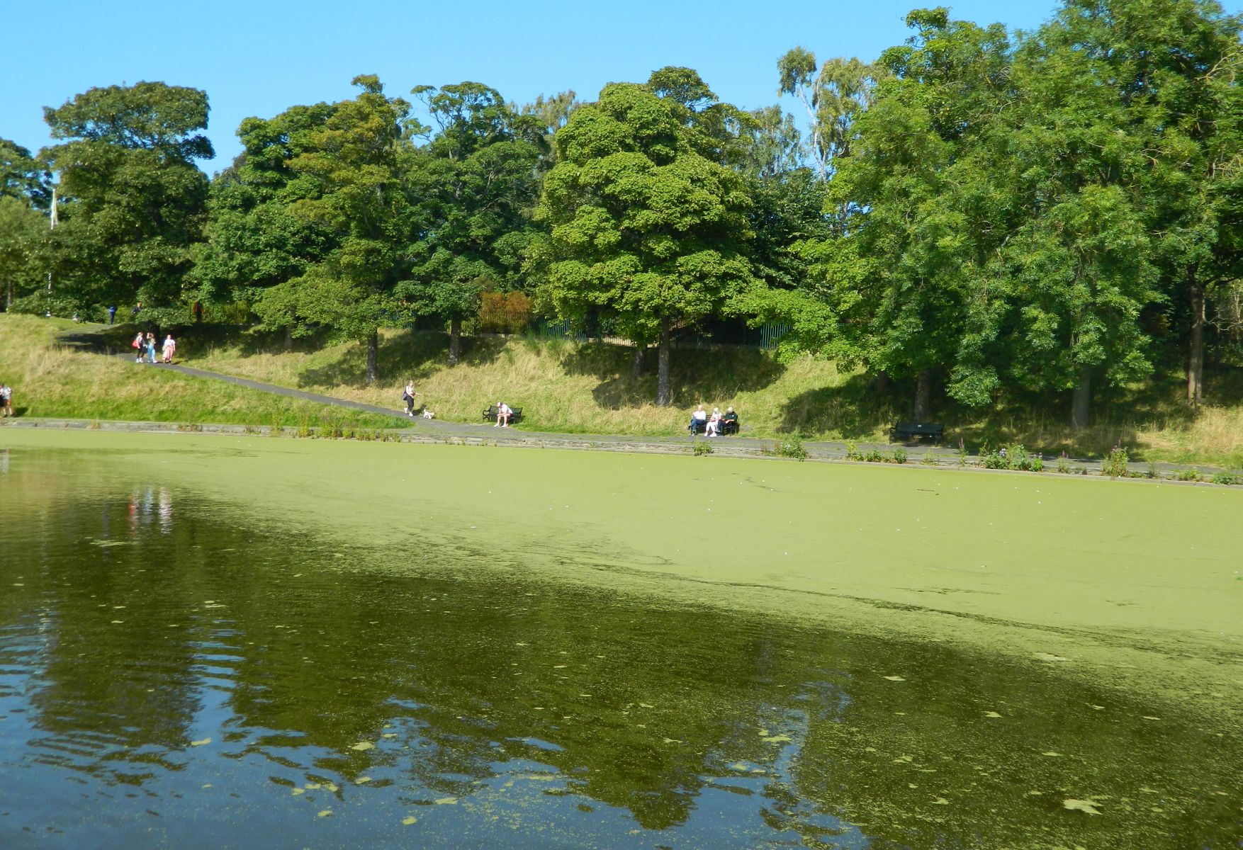
at a road and Saughton Park the route returns to the Water. At the
next
road cross another pelican crossing and follow the path on the far side,
now
back by the river and soon passing under a wide railway bridge. Beyond
this
turn right to cross a hump-back iron footbridge and then continue along
the
opposite
side of the water. Ignore various other paths that lead back over the
river
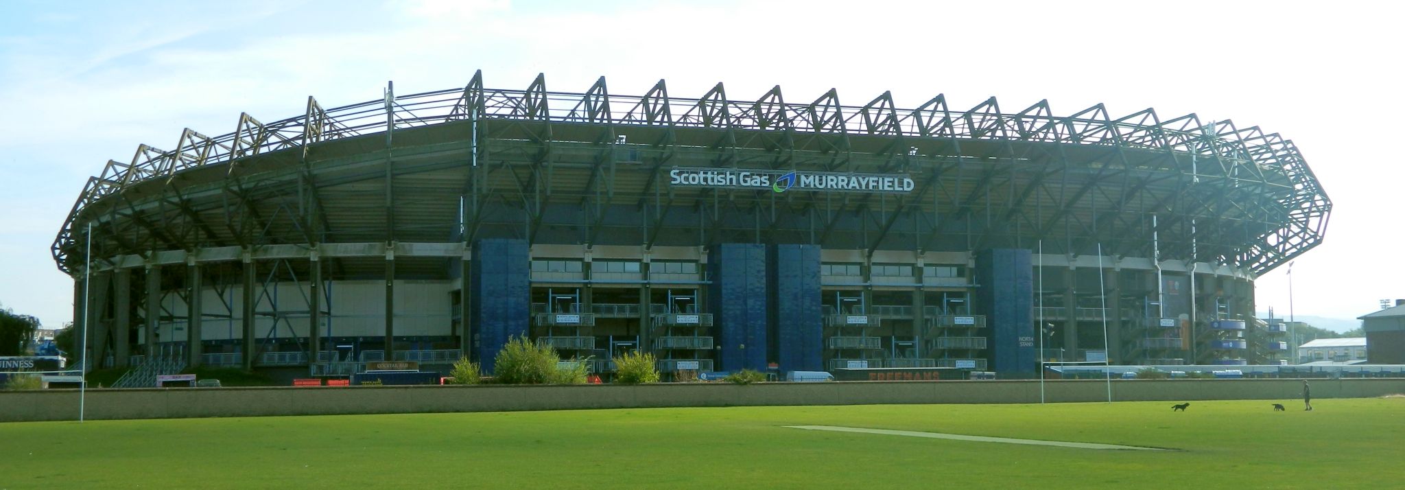
and continue on its right bank. There are now good views of the massive
Murrayfleld
Stadium - home of Scottish rugby - over to the right.
STAGE
3
The
path emerges on a road at a bend; turn lelt here and then left again to
meet
the busy A8. Use the pedestrian crossing and head very briefly to the
right
on the far side before heading left between two stone posts topped with
pyramids
onto Roseburn Cliff. Next look out for a ‘Water of Leith' footpath sign
indicating
a path on the left. This passes under an old viaduct and
continues by the river - the start of a very
pleasant
and leafy section of the walkway. Ignore a wooden footbridge ( which
gives
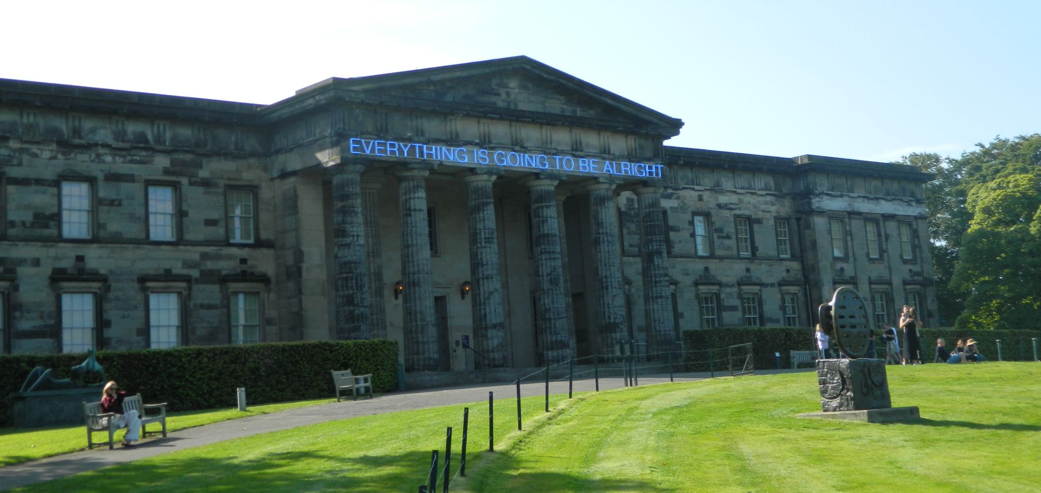
access to the excellent National Gallery of Modem Art ) and pass a weir.
Further
on a signpost indicates a path a route off to the right that leads to
Haymarket
Rail
Station, but the walkway continues by the river. soon switching to the
north
bank at a footbridge.
STAGE
4
Pass
under an arched bridge via a platform suspended over the river ( there
is
access
to the Dean Gallery by ascending from here ). Do not cross the next
iron
bridge and pass the bottom of a long flight of wooden steps which climb
up
to the left. A suspended walkway now leads past an attractive weir
passes
under
another metal footbridge. Turn left on the far side of this to climb up
and
then
cross it to the far bank. You are now in perhaps the most enchanting
spot
on
the Water of Leith; on the north side of the river is the impressive
red-brick
Well
Court, built by the owner of the Scotsman newspaper to house his
workers.
Follow the cobbled walkway which climbs on the south side of the
river,
alongside some picturesque half-timbered cottages. This is Dean village.
STAGE
5
The
cobbled Hawthorne Elank Lane leads up past some characterful old
houses.
Go straight across - downhill - at the top. signed for St Bernard's
Well.
The
walkway now leads under the towering arches of the Telford Dean Elridge;
built
in 1832 this removed the need for a steep descent and climb on the
crossing
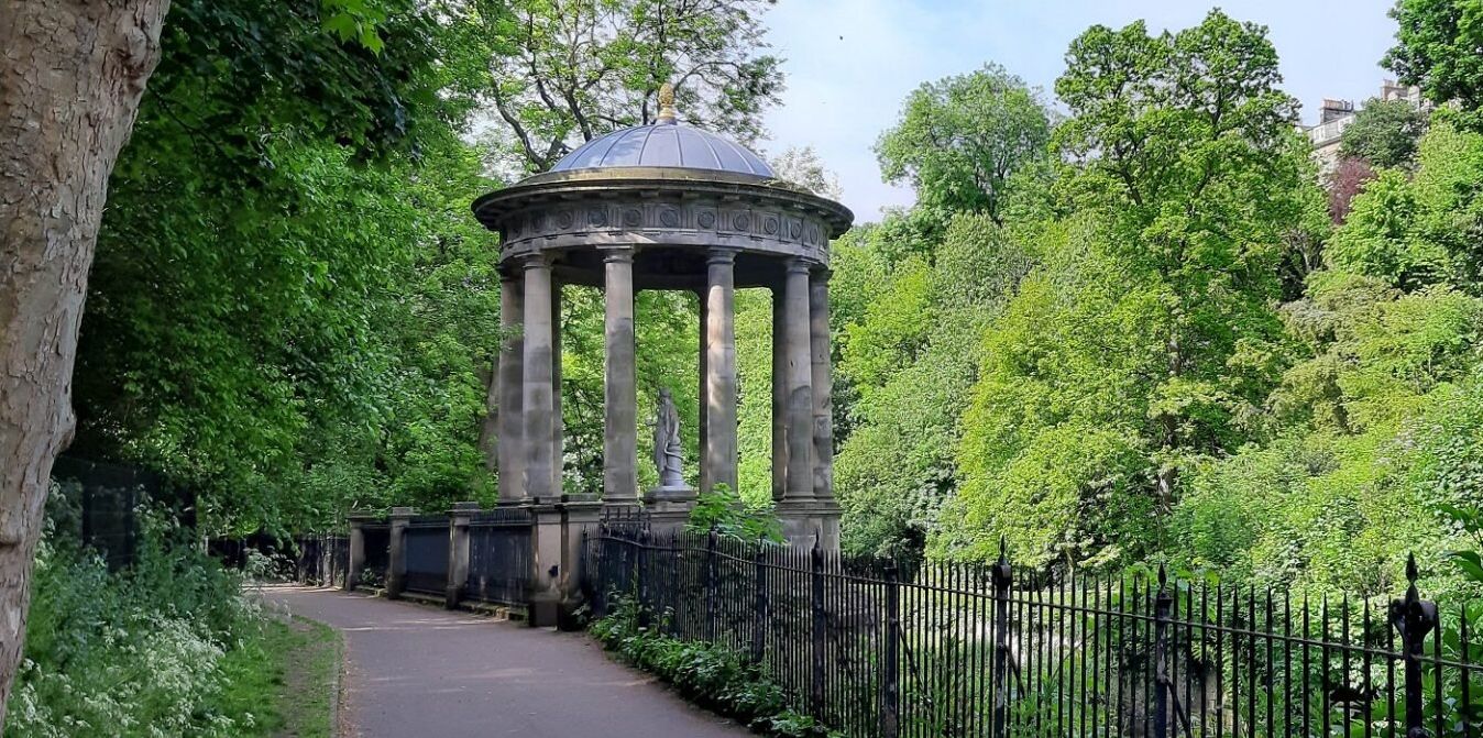
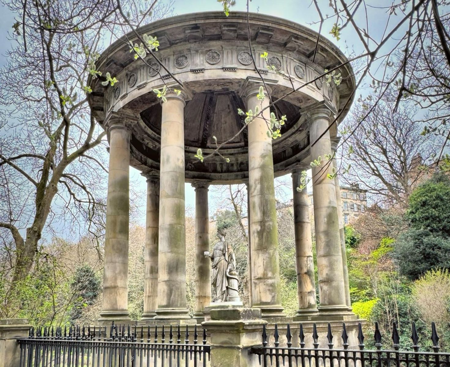
of the river. Soon St Bernard's Well is reached, capped by a Roman
temple-style
folly and a statue of Hygeia. Goddess of Health. Once popular for
healing.
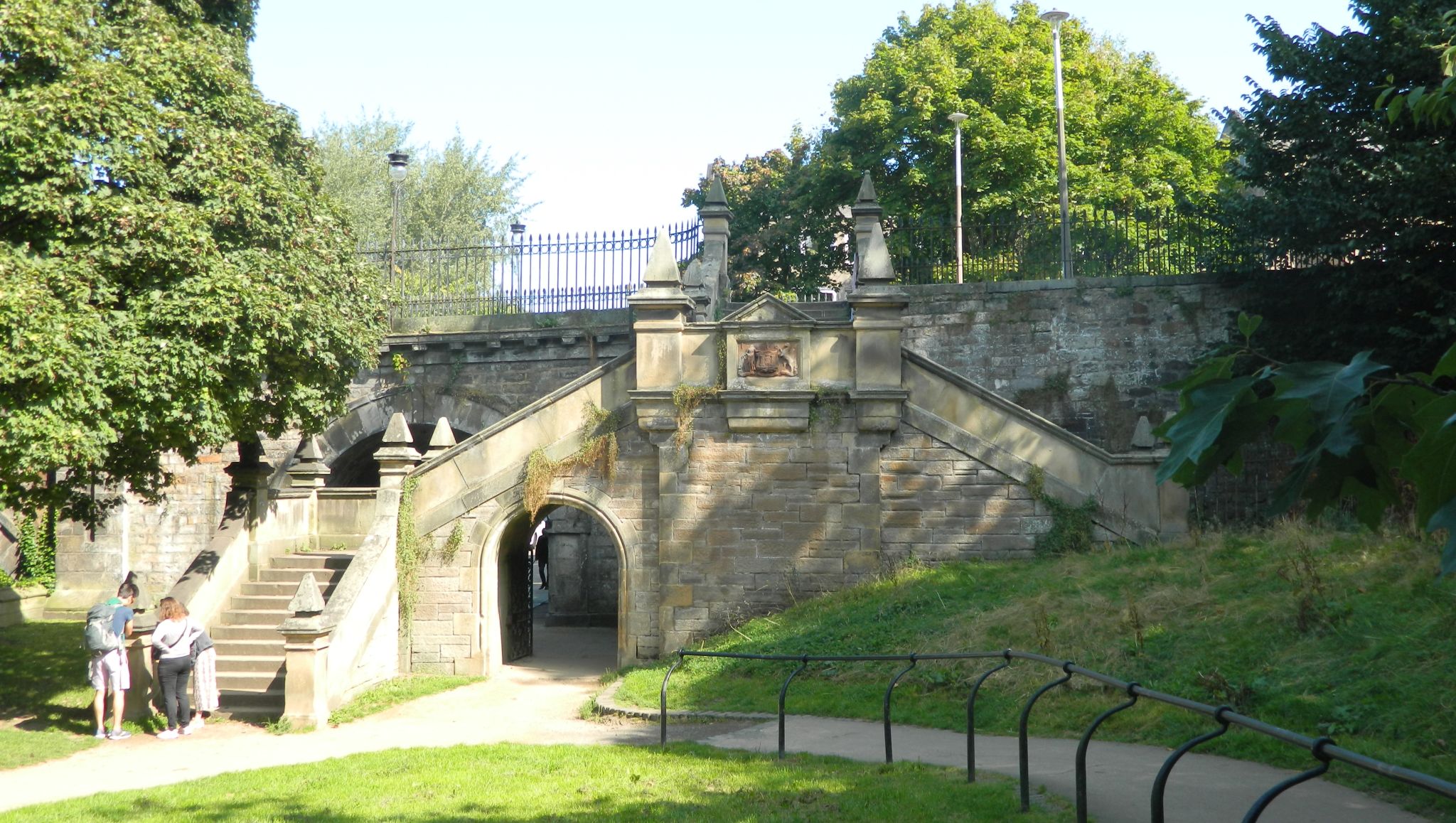
recent tests have shown it to be unfit for drinking. Further on, pass
under
the steps and bridge onto Saunders Street. Across the river opposite is
Dean
Terrace and an area with some of the finest Georgian streets of
Edinburgh.
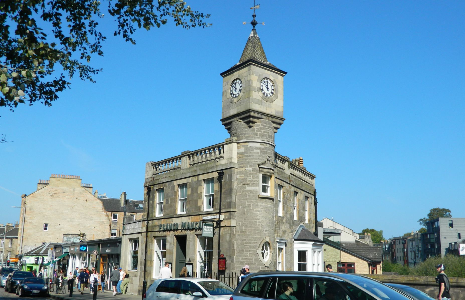
Continue ahead to emerge on Stockbridge, the heart of the trendy
district
of that name. and descend the steps on the far side next to the
beautiful
Pizza Express building with its clocktower.
STAGE
6
When
the walkway emerges on a road turn left and then right onto Arboretum
Avenue.
with the terraced houses of the Stockbridge Colonies across the
water.
These were built by a cooperative to provide low cost homes for
craftsmen.
releiving the pressure on the slums of the Old Town. The walkway
cuts
a corner of the road and then passes through a gateway on the right to
continue
above the river overlooking the colonies opposite. Ignore the next
bridge
over the river but cross the following one - signed for Leith. Emerge up
steps
onto a road in Canonmills and turn left. At the busy junction with the
traffic
lights: use the crossings and take the Warriston Road almost opposite
[slightly
staggered to the right]. This runs alongside the river. passing under an
arch
bridge. Turn left to cross St Mark's Bridge and then right onto a path
on
the
far side.
Stage
7
Continue
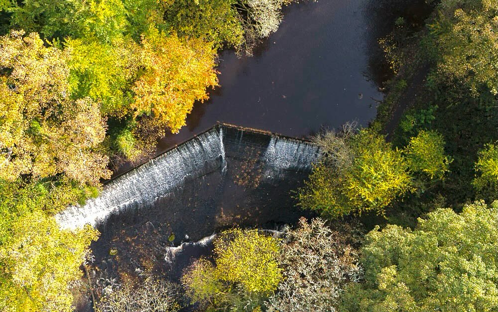
beside the river through parkland, passing but not crossing a bridge.
The route leads under a low arch carrying the railway and passes a
wide weir.
Keep right at a path junction, eventually heading up steps
on the left up to a road.
Turn right briefly along the road and then
left just before the river onto a walkway once more.
This crosses the
water twice and passes through a light industrial area;
turn left
when it emerges on a road and then right and finally left through the
business park.
The route then regains the river; pass under a bridge
and when the path meets a road bridge turn right across it and then
left on the far side.
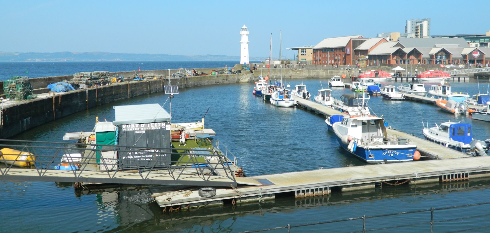
You are now on the Shore
in Leith
-
once a seedy area but now packed with some of Edinburgh's most
prestigious restaurants, reflected in the water.
Continue by the
Shore, crossing Commercial Street, to reach Victoria Bridge and the
end of the walk.


 :: Arthur's
Seat
Gallery
:: Arthur's
Seat
Gallery 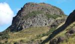 ::
Edinburgh
Photo
Gallery
::
Edinburgh
Photo
Gallery